
Why Tech Bros Are Investing in Airbnb’s
Author: Guest

This article will explain the steps and legal requirements for buying a villa in Bali, including what foreign buyers need to know before making an investment. Home > Resources > Airbnb Investment > Airbnb Investment This article will explain the steps and legal requirements for buying a villa in Bali as a foreign investor. [elementor-template id=”61228″] […]
Toronto’s population is growing fast, and with the housing crisis, property prices keep climbing, especially when more people want to buy than sell. This keeps the city’s real estate market super strong. Even during the recession, Toronto’s unemployment rates remained relatively low, and rental prices were stable. This is because the city has fantastic economic […]

Ever wondered how to tap into renting out property in the vacation rental industry without the significant financial burden of owning real estate? You’re not alone. Many investors are turning to creative solutions to launch their vacation rental properties with minimal start-up costs.

Explore the world of real estate investment: traditional rental properties vs. Airbnb. Discover how short-term rentals provide a flexible, profitable alternative for earning passive income without the commitment of long leases.

In this article, we’re not just throwing numbers at you! We’ll unearth some of the top market trends you can count on to make your vacation rental investments thrive in the face of heated competition, so read on.

Discover essential strategies and principles of utilizing effective use of technology using advanced analytics and WiFi data to help enhance rental experiences and business performance.

Whether you already own a vacation rental in Portugal, or you have plans to invest, this article will help you maximise revenue and get the most out of your investment. Home > Resources > Airbnb Investment > Portugal’s Golden Returns: Maximising Revenue on Your Vacation Rental Investment Airbnb Investment Portugal’s Golden Returns: Maximising Revenue on Your […]
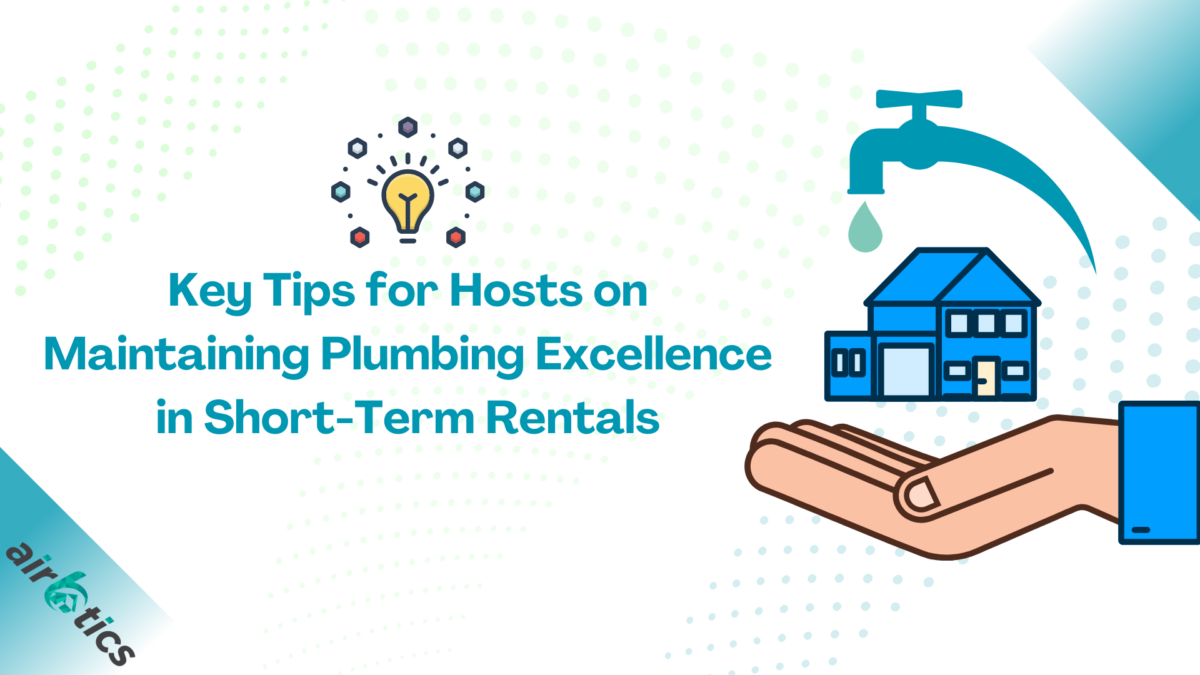
Discover the pinnacle of plumbing excellence in short-term rentals! Don’t settle for less when it comes to plumbing. Choose excellence, choose peace of mind, choose success in short-term rentals. Home > Resources > Hosting Tips > Key Tips for Hosts on Maintaining Plumbing Excellence in Short-Term Rentals Hosting Tips Key Tips for Hosts on Maintaining Plumbing […]
The secret of the attractiveness of Bali is not only the beauty of nature and the hospitality of the local people but also a favorable environment for business and investing in real estate. Home > Resources > Airbnb Investment > Investing in Bali Real Estate: Buying Property in the Best Island in the World Airbnb Investment […]